|
|
|
|
|
|
GPX
KML
|
|
|
|
|
|
|
|
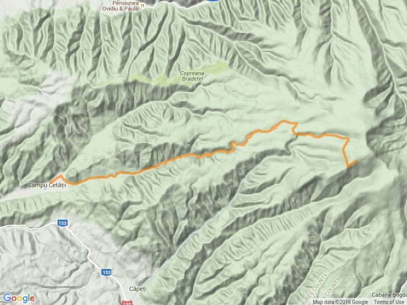
| Area |
|
|
- |
|
|
|
|
|
|
| Tourist area |
Transylvania |
|
Seclerland |
|
Marosszek |
|
Niraj Valley |
|
| Symbol |
 |
| Length |
22.0 km |
| Duration (hh:ss) |
7:00 |
| Difficulty |
average |
| felszereltseg |
average |
| Seasonality |
- |
| Altitude difference (m) |
0 m |
| Min. height (m) |
0 m |
| Max. height (m) |
0 m |
| Calories burned |
- |
|
|
|
|
|
|
|
|
|
|
|
|
|
489 |
|
1089 |
|
|
|