|
|
|
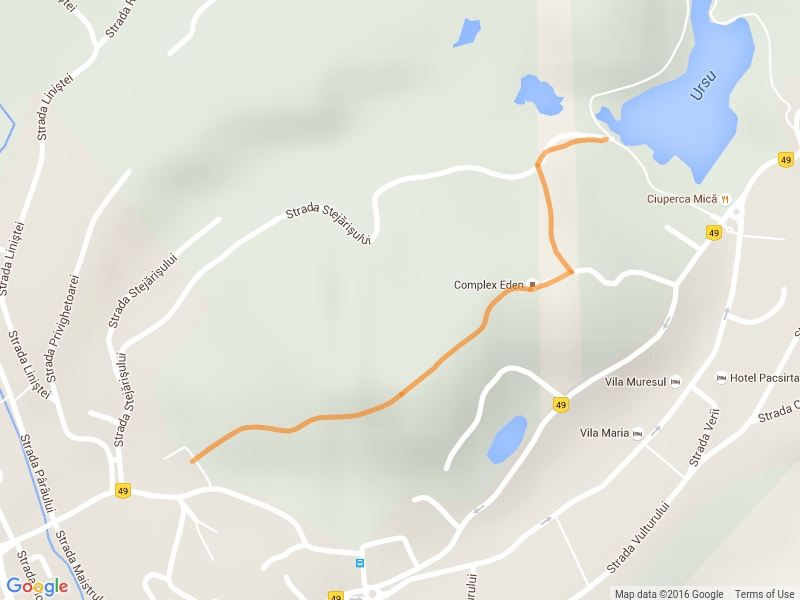
Sovata (center) - Ursu lake
|
|
|
|
|
GPX
KML
|
|
|
|
|
- |
| Area |
Sóvidék-Hegyalja |
|
- |
|
|
|
|
|
|
| Tourist area |
Seclerland |
|
| Symbol |
 |
| Length |
1.1 km |
| Duration (hh:ss) |
0:00 |
| Difficulty |
low |
| felszereltseg |
|
| Seasonality |
|
| Altitude difference (m) |
78 m |
| Min. height (m) |
470 m |
| Max. height (m) |
548 m |
| Calories burned |
- |
|
|
|
|
|
|
|
|
|
|
|
|
|
397 |
|
856 |
|
|
|